
Best Time to Sail to Bermuda
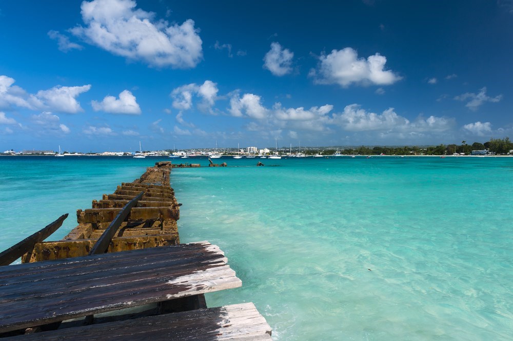
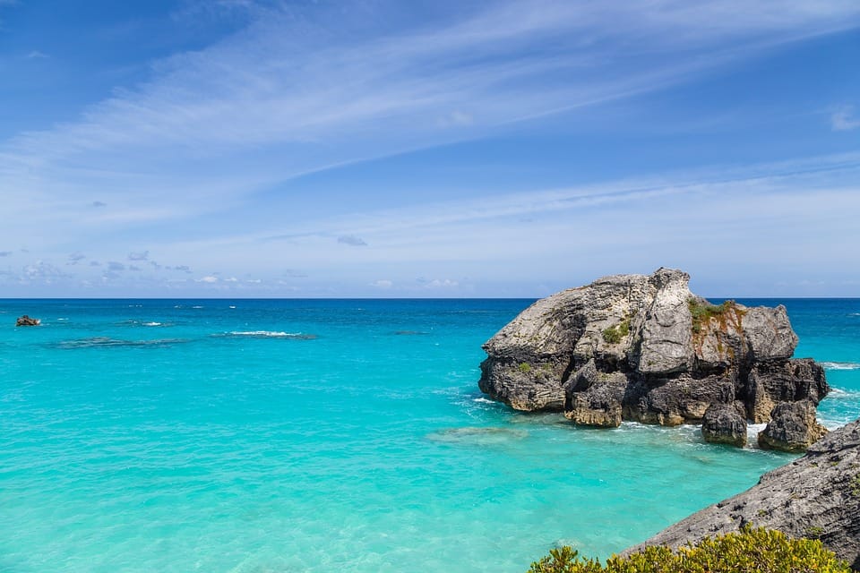
If you’re looking for a less overcrowded sailing destination, there’s an island in the middle of the Atlantic; the Bermuda Islands. Although we refer to one island, Bermuda basically has 138 islands; the largest of these being Main Island. Located about 1,400 miles east of Charleston, South Carolina, Bermuda is far from most other tropical islands. The sparkling turquoise waters and pink sand beaches of Bermuda rival those in the Caribbean, but these British isles offer a more temperate and subtropical climate. The archipelago is located 650 miles off the coast of North Carolina and the cruise season is mainly from April to November. But, we will analyze this further in the article. So, keep reading!
A Bit of Geology and Geography
An archipelago of limestone islands, Bermuda comprises a total of more than 100 islands that are encircled by a collar of coral. In the 16th century, Spanish mariners called them Las Islas de Demonios (Islands of Devils), while the English preferred the more benign name “The Summer Islands.”
Eight of the largest islands, St. George’s Island, St. David’s Island, Bermuda Island, Somerset Island, Watford Island, Boaz Island, Ireland Island South, and Ireland Island North, are connected by bridges forming a single entity. Within the many picturesque ports and bays are spread smaller islands and islets, coves, and reefs. Many are just rocky uninhabited islets lacking vegetation and human civilization.
The main island is relatively small at 21 square miles and never more than two miles wide. The archipelago western third is curling around to the northwest. The aerial view is more clear to the eye as it reveals everything. When landing at the East End airport, you discern the violet deep-ocean across reef-dotted aquamarine shallows. And like this, the island looks almost fragile in its entirety. An oceanic oddity whose geographic isolation has formed an exceptional survival and natural conditions.
Bermuda’s unique characteristics have long intrigued scientists. Bermuda is a subtropical island about 650 miles from Cape Hatteras and North Carolina. In terms of geology, biotopes, and climate it doesn’t look that much to its neighboring Caribbean. Bermuda is bathed by the Gulf Stream which influences its climate, just as the easterly trade winds do down south. However, unlike the tropical Indies, Bermuda’s winters are damp and particularly stormy. In other words, there’s no wet or dry season. The island’s weather is so unpredictable that a thunderstorm can occur in a specific area and not in other areas nearby.
Geologically, Bermuda’s core is soft, white limestone, despite the violent volcanic origins. There are no rivers, lakes, or streams. The topography is also weird. For example, Town Hill in Smith’s Parish is the highest point of land at 259 ft above sea level. And though tiny, Bermuda’s landmass has a diverse range of natural habitats. From marshland to sand dunes and cedar woodland; all these supporting an equally varied ecology.
Climate in Bermuda
The climate is sub-tropical, mild during the winter, and autumn. However, from late May to October, it can get quite hot and with especially high humidity. The hottest part of the year is from May through mid-October with temperatures from 23°C to 30°C. Humidity, often well over 85%, is at its highest from July through mid-October.
Despite its latitude, longitude, and north of the Caribbean location, Bermuda doesn’t have frost, snow, or ice. But, why? Because the warm waters of the Gulf Stream pass near Bermuda. In winter, from November to March, temperatures are very mild. With lows around 15/17 °C and highs around 20°C. There can be days with good weather, approximately 11/13 days with rain and wind per month.
Summer in Bermuda is hot and humid, in July and August. However, the heat is tempered by the breeze. There are about 10/12 days with rain per month, but the rain usually falls in the form of short and intense showers. These often break out in the evening and don’t affect the amount of sunshine.
Frequent rainfalls are one reason why Bermuda is usually lush in foliage and greenery despite its very shallow alkali soil. And bear in mind that there’s no monsoon or rainy season. And this is because Bermuda isn’t in the Caribbean, but some months can be wetter than others. However, others lack much rain. Also, in July, August, and early September the climate can be extremely humid.
Winds and Hurricanes
In general, Bermuda’s ocean winds are tempered by the Gulf Stream. However, when south winds prevail the humidity rises, and thunderstorms are quite often. The highest humidity months are July and August so this would be the worst time to visit. Temperatures rarely drop below 15°C or exceed 32°C. The lowest air temperature ever recorded was 6.45°C. During the winter months, water temperature is usually the same as the air temperature, ranging from about 19°C in January through 23.8°C until the late spring. Furthermore, warm air that constantly rises into the atmosphere over the equator descends back down to the Earth in the form of warm and dry air, at about 30° north and south latitude.
Hurricanes are severe subtropical or tropical storms with heavy rains and intense winds. These blow in a large circular motion around a center “eye.” Hurricane season in the Atlantic runs for six months, from June to late November. Most hurricanes occur in August, September, and October. Bermuda is usually quite well protected due to its reefs. However, high waves on top of a storm surge might cause problems in low-lying areas close to the sea.
Weather along the northeast coast tends to unstabilize as the year progresses. Meaning that a mid-November forecast might be good for just 24 hours. And as you’re in a gale area all the way to Bermuda, if you head south from Newport, Rhode Island, your passage time on a 40-footer will be approximately 4 days. Meaning that the chances of getting hit by at least one gale are very high. An approaching cold front with northwesterly winds of 20 knots usually veers to the north. And in these conditions, a sailboat caught in the middle of the Stream will experience very rough conditions even with 20-knot winds. Higher winds might damage your gear and repairing things in Bermuda can be time-consuming and expensive.
Bermuda is located within the band of high pressure that exists between the zone of prevailing south-westerlies to the north and the zone of northeast trades to the south. These are traditionally known as the horse latitudes and particularly known for their lack of wind. Because of this geographic location, Bermuda residents and visitors benefit from a year-round dry and temperate climate.
From Where are you Sailing?
There are many starting points from which you can set sail to Bermuda. The most common are Miami, Florida and the U.S. East Coast, Dominican Republic, the Azores, Cuba, and Europe. The ocean passage can be challenging but if you plan ahead and be well-prepared you will have nothing to fear of!
Bear in mind that your sailboat has to be a seaworthy vessel and able to handle the winds and currents of the North Atlantic Ocean. One of the biggest challenges that can present itself in sailing to Bermuda is the Gulf Stream. Together with its northern extension, the North Atlantic Current is a powerful and mainly warm Atlantic ocean current originating from the Gulf of Mexico. It exits through the Strait of Florida and follows the eastern coastlines of the United States and Newfoundland before crossing the Atlantic Ocean. When cruising or sailing, you have to be well-prepared for whatever face it shows and always plan a safe passage beforehand.
Unlike its Caribbean neighbors, Bermuda is less affected by hurricanes and the weather remains temperate year-round. You should, however, check the weather forecast between late August and October, which is the hurricane season in Bermuda.
Generally, the route between Bermuda and the U.S. heads north of Cape Hatteras and falls into the zone of prevailing south-westerlies. St. David’s Head, the entry point for all sailboats, lies at a latitude of 32° 22′ N. Because of this latitude, winds can be unpredictable than predictably southwest. However, the islands don’t fall within the trade wind zone, which typically begins several hundred miles farther to the south.
The entire region between the U.S. and Bermuda depends on the effects of various fronts and low-pressure systems moving off the U.S. coast from west to east. But, when you’re sailing during the summer months, low-pressure systems are mostly mild, and cold fronts are generally less intense.
And, how long does it take to sail from Florida to Bermuda? Well, it depends on different factors. For instance, the size of the boat, the crew’s experience, the purpose of the voyage, and of course weather conditions.
Miami to Bermuda is about 1600 km. Many sailors plan on 100 miles per day, so the duration of the voyage is around 8 days. The months of October until March provide the calmest seas for the voyage.
When approaching Bermuda from the South, you can safely pass St. David’s Head at a distance of one mile or more, keeping at 225 degrees until St. Catherine’s Point changes course to 290 degrees. No matter where you are leaving the US, your point of entry in Bermuda will always be entering St. George’s Harbour, through Town Cut Channel, where the customs are situated at the northeast corner of Ordnance Island.
The Gulf Stream
The Gulf Stream is a powerful current in the Atlantic Ocean that originates in the Gulf of Mexico. It flows into the Atlantic Ocean at the southern tip of Florida, turns towards the north, and accelerates along the eastern coast of the US up to Newfoundland. It consists of a large system of currents up to 4kts, sometimes forming circular currents and powerful winds. In general, the Gulf Stream isn’t that friendly with sailors. In short, you should respect her dominance and carefully consider how to use her power. As with all waters with current, it’s advisable to avoid when the wind is opposing the current direction. For the Gulf Stream, this is especially true as an opposing wind can cause very dangerous high and steep waves.
The best source of information about general wind conditions en route to Bermuda is the book of North Atlantic Pilot Charts. It contains 12 charts, one for each month. They provide in-depth accumulated data based on previously encountered weather and wind conditions. Information like wind direction and speed, surface temperature, and magnetic variation. For all-around weather information, including month-to-month comparisons, pilot charts are an excellent starting resource.
The route is one of offshore sailing off the U.S. continental shelf. Also, the route usually includes the crossing of the Gulf Stream. North of the Gulf Stream the weather is similar to New England’s or the mid-Atlantic coast. These include fog with plenty of cold water. South of the Gulf Stream, temperatures are really warm, and the weather is far more tropical in nature with sometimes dangerous squalls occurring.
Be Well-Prepared!
A good rigging check before leaving is a must. Your standing and running rig always has to be inspected and repaired properly, if needed. Furthermore, it is probable that you’ll spend long days on one tack on the return of your transatlantic crossing. So, chafe on sheets and halyards is more than likely to occur. A professional rigging check is definitely worth the cost, but if you do it yourself ensure that you work from stem to stern and checking every item. Inspect the mast, boom, and spreaders. Moreover, check all areas where anything joins, exits, or is just attached. The areas have to be smooth with no cracks at all. All fastenings must be tight and secure. Lastly, check all split pins and keyrings and ensure that these are taped up.
Make sure to sail outside of the hurricane season and the winter gale season. And, keep in mind that the North Atlantic is not a simple place to sail in a small sailboat. In case you’re sailing on the “snowbird” passage south at the end of summer it is a risky situation. This is because there isn’t a gap between the end of the hurricane season and the gale season that is measured in “months”. That’s why many sailors do this passage in November.
The best thing to do is to leave in mid-October and watch for a useful weather window. Be ready to jump as soon as you get a gap that looks appropriate for you. Make sure to pick your best time, go fast when needed, and be prepared for very rough weather if things take an unexpected turn on the forecast.
Offshore the weather phenomena are more intense and that’s why self-reliance is not a choice but a necessity. Meaning that you must deal with all conditions and any challenges that might occur. And sometimes being out of sight of land might cause fear but also a rare escape.
Best Time to Sail to Bermuda – The Bottom Line
Although the Bermuda triangle is a lot more famous than Bermuda itself, this North Atlantic destination is highly preferred by many sailors. The pink-sand beaches, amazing landscapes, and the blend of British and American culture flourish there. As one of the best sailing destinations in the world, the best time to sail in Bermuda is between October to March. However, many sailors set sail in April, May, and even June. Keep in mind that the heart of hurricane season has a higher sailing risk and runs from June to November. That’s why the months of October to March generally provide the calmest seas for the trip. I hope that this article was helpful for your voyage to Bermuda and that will make your planning much easier. Wish you a safe and pleasant voyage!